1day
0 nights
Day trip
Enough for the Sana springs or a day at the crag. Leave in the morning, back by evening.
GORNJA PECKA · MRKONJIĆ GRAD · WESTERN BOSNIA
Everything for the trip in one place: how to get there, when to come, where to stay, what to bring and how to reach us.
Pecka is closer than you think.
How to get there
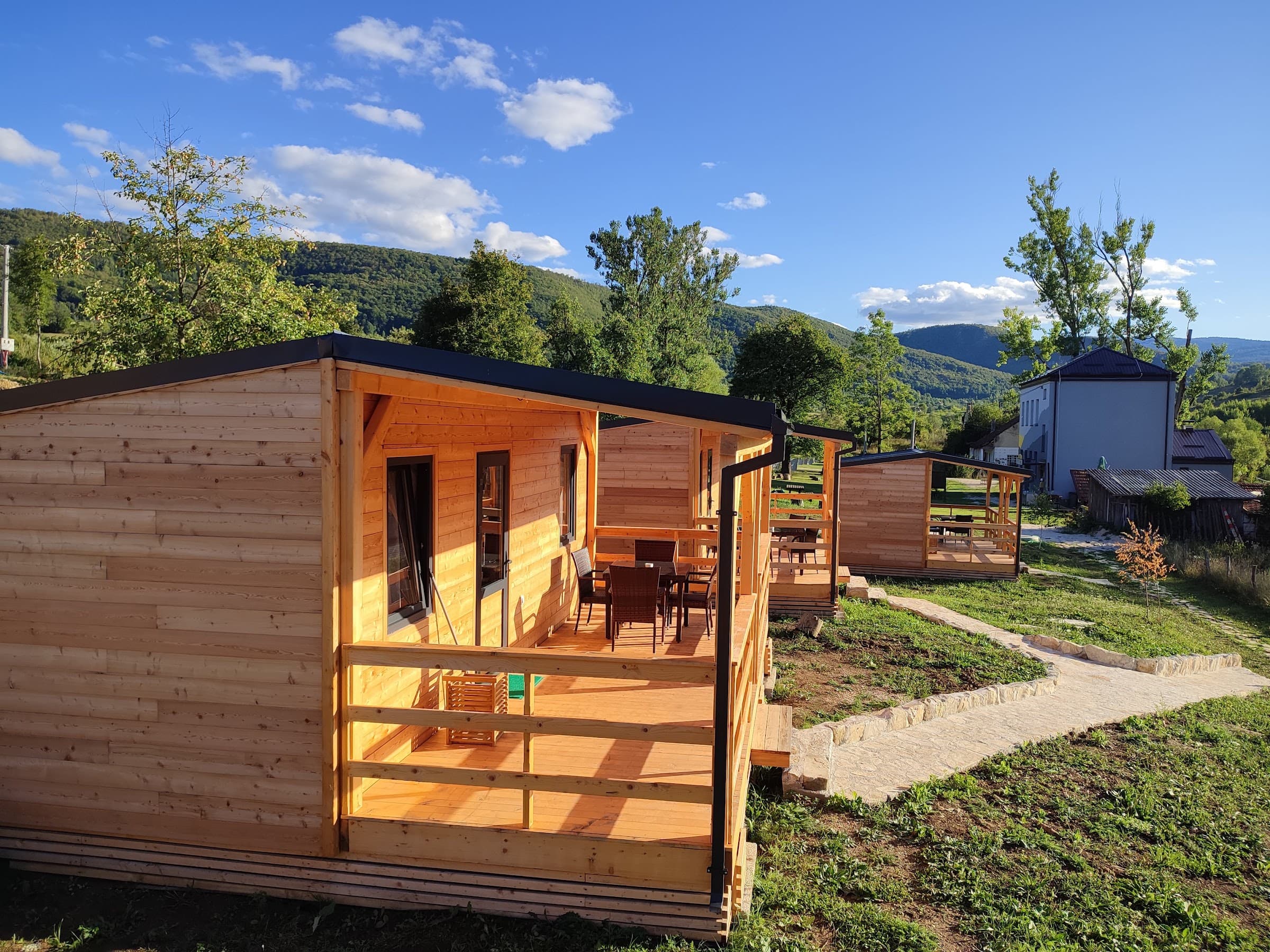
Pecka sits in the Mrkonjić Grad municipality in western Bosnia, near the main road toward Glamoč and just three kilometres from Baraći. The road to the centre is paved.
Pick where you are starting from
Banja Luka → Pecka
90 kmDistance
~1 h 30 minDrive
Routevia Mrkonjić Grad
The nearest airport is Banja Luka; there are more flights via Zagreb, Belgrade or Sarajevo, then a drive.
Open Pecka in your own app and go. Download the maps before you set off — the signal thins out over the last few kilometres.
Centre coordinates44.31986, 16.903674
By car
The easiest option. The road to the centre is paved and parking is on site.
By air
The nearest airport is Banja Luka. More flights go via Zagreb, Belgrade or Sarajevo — from there it is a drive.
On the way
Balkana lake, Bočac and the Pliva springs. Pecka fits neatly into a tour of western Bosnia.
When to come
It is beautiful year-round, but each season comes for its own reason. Here is the year — pick a season and see what is at its best.
Seasons
What peaks when
Springs at peak
Hiking
Climbing
mornings and late afternoons in summer
Water and swimming
Mushrooms
Quiet and snow
Spring · March — May
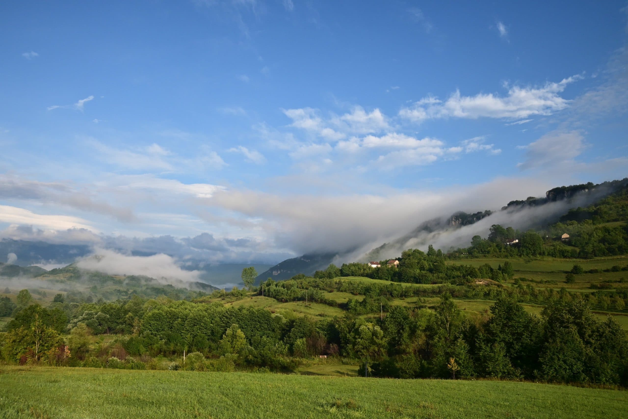
The Sana springs run hardest and the forest is at its greenest. The best window for hiking and climbing — long days, and the rock is not hot yet.
What peaks when
Water at its strongest
How long to stay
How long you need depends on how much you want to see. This is how it usually falls.
1day
0 nights
Enough for the Sana springs or a day at the crag. Leave in the morning, back by evening.
2days
Ideal1 nights
Nature, one activity and rest, with a single overnight. You start the day at the trailheads and the crag.
3+days
2 nights
Trails, climbing, the Korana canyon and the surroundings — Zelenkovac and the Pliva springs are within reach.
guides soon
WHERE TO STAY
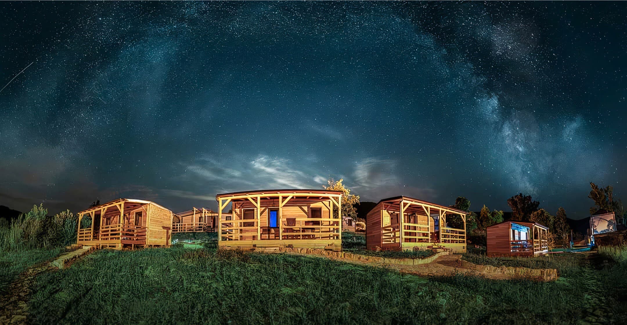
Mobile cabins, the dormitory in the old 1931 school, or the campsite — you wake up at the trailheads and the crag. Groups combine several types.
What to bring
Tick what is packed — the list waits on this device until you get back. Turn on the last two sections only if you need them.
0/9
packed
On your feet
Layers
Water and sun
Small but essential
For climbing
For camping
Good to know
Parking
On site, right by the centre.
Pets
Allowed in the mobile cabins for a surcharge.
Food
Home-cooked, on request. In season the local market runs too.
Payment
Bring cash in BAM — not everything takes cards.
Signal
The area is mostly offline. Download your maps before you set off.
Protected nature
Part of the area is the Sana Springs Natural Monument. Tread lightly.
Rules in the protected areaOpening hours
Safest to check by phone before you come, especially out of season.
Ask or book
Depending on what you are planning, this is the fastest way in. Each page has its own enquiry, cut for what you are after.
Contact
Pecka (Gornja Pecka)71260 Mrkonjić GradBosnia & HerzegovinaCheck availability and book a cabin, a dorm bed or a place at the campsite.
Ask for an offer built around your group — programme, beds and food in one place.
Sign up for a date. It runs on the first two weekends of October.
Programme and sign-ups for the festival in late June.
Anything else — call or email, and we answer quickly.
Frequently asked
By car via Mrkonjić Grad (~30 km) or Šipovo (~20 km); from Banja Luka it is about 90 km. The road to the centre is paved and there is parking on site.
About 90 km, roughly an hour and a half of driving.
Spring and autumn for hiking and climbing, summer for the water and the festival, autumn for mushrooms too. Every season has its own draw.
A weekend covers the essentials; for the trails, climbing and the surroundings, allow three days or more.
Bring cash in BAM — at the local market and in the households cash is the safer bet.
The area is mostly offline. Download maps and information before you set off.